Virtually Travel the Rubicon Trail with Google Street View
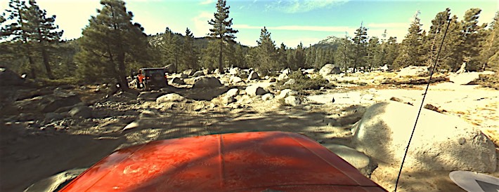
When Google Street View first started, it was a way to look at the destination you were heading to and identify the building you were going in to. Being able to see what the area actually looks like is a boon to someone who has never been there before. But the technology that makes Street View work became available to 3rd parties, and Google allowed those 3rd parties to submit stuff to be included. That’s where the Rubicon Trail comes in.
The folks at the American version of Top Gear worked with some engineers to digitally map the Rubicon Trail as part of filming an episode there. If you have a 360 degree camera and the right software, you too can add locations to street view. Click here to view the Rubicon Trail on Google Street View.
So far, only 30 or so images along the trail have been uploaded, so you can’t actually travel the entire trail. But as with any other Google Street View location, you can pan, zoom explore the areas that have been uploaded. Also, per Google’s Street View policy, faces have to be blurred out. Even though we know darn well who these guys are!
Chime in with your thoughts on the forum. >>
via [Automobile]
lead image via [Google Street View]